Livestock & Horse Drone Search
Thermal drone recovery for missing horses, cattle & livestock across Southern California
FAA Part 107 certified · Flying since 2012 · Real thermal equipment, real pilots
When an animal goes missing, terrain and time work against you
Lost a horse, or missing livestock across open or rugged ground in Southern California? Call Skyecam — (323) 632-1310. A thermal drone covers in minutes what a rider or ATV would take hours to search, and it sees at night, when animals move and a ground search is nearly blind. The sooner we launch, the smaller the search area and the better the odds.
How a thermal drone animal search works
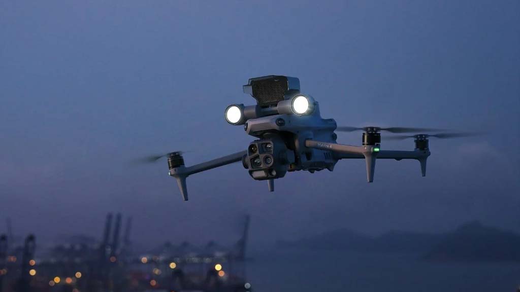
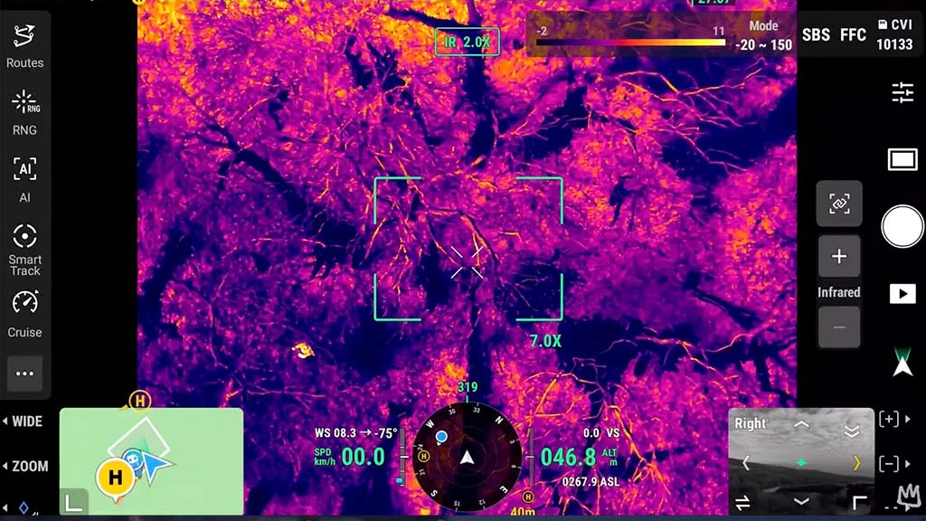
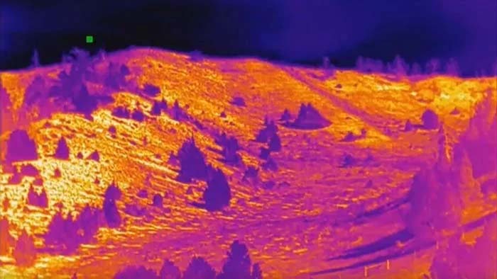
Skyecam uses professional thermal-imaging (infrared) drones to locate animals by their body heat — day or night, across terrain that’s impossible to search quickly on foot.
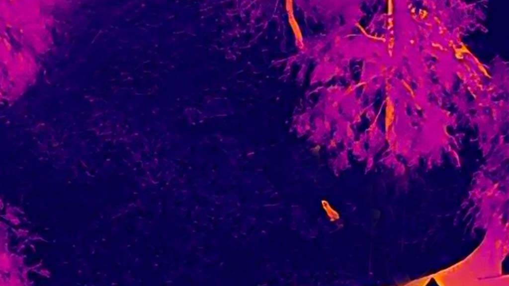
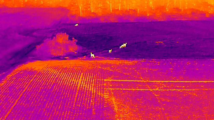
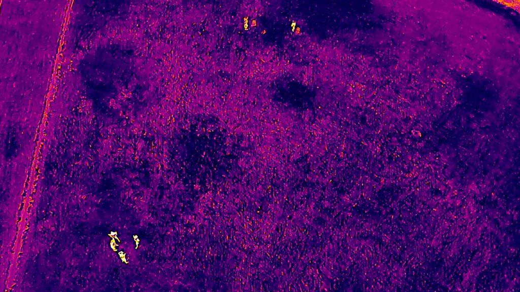
- Body-heat detection — the thermal camera picks up an animal’s heat signature against the cooler ground, even in darkness, brush, or a canyon.
- Fast, wide coverage — a drone searches hundreds of acres in a fraction of the time a ground crew or rider would need.
- No spooking the herd — we fly high and use optical zoom to find and identify animals without flying low enough to disturb them.
- Pinpoint location — when we find your animal, we hand you GPS coordinates and imagery so you or your vet can reach it.
Animals we search for
- Horses & equestrian — an escaped, downed, or injured horse in the hills, canyons, or backcountry. We serve the Southern California equestrian community, from Norco and the Inland Empire to Santa Clarita and Ventura.
- Cattle, goats & sheep — livestock missing on open range, large pastures, or rugged grazing land.
- Locating for recovery — when an animal is down or lost in terrain a ground crew can’t quickly cover.
When thermal searches work best
Thermal imaging is sharpest when the ground is cool, so a warm animal stands out most clearly — night, pre-dawn, or early morning. Extreme mid-day heat (above roughly 90°F) washes that contrast out, so many searches are scheduled for overnight or first light. Calling sooner helps us plan the most effective window.
An honest word on what thermal can and can’t do
We’d rather be straight with you than over-promise. Thermal drones are powerful, but they need a line of sight — they can’t see through barns, dense canopy, or heavy solid cover. A thermal search is at its best on open or rugged ground: a horse loose in a canyon, cattle scattered across grazing land, an animal down in the brush. If your animal is on a small fenced parcel you can already walk, or likely inside a structure, we’ll tell you honestly that a drone won’t add much — and point you to what will.
Built for Southern California terrain
We know this landscape and its equestrian and ranch country — Norco (“Horsetown USA”), the Inland Empire, Santa Clarita and Agua Dulce, the Antelope Valley, Ventura County, and the San Diego backcountry. As FAA Part 107 pilots, we handle the airspace rules so a search stays legal and safe, and we fly the canyons, foothills, and open range where a thermal drone shines and a ground search struggles.
Why call Skyecam
FAA-licensed & insured
We operate under FAA Part 107 with night-flight waivers, so we can legally fly your search after dark and over the areas that matter.
Professional operators, not a hobby rig
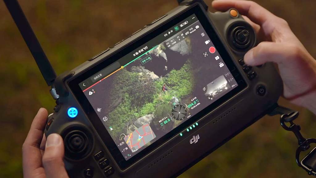
We’ve flown thermal and cinema drones professionally since 2012 — real equipment and a pilot who knows how to read a heat signature.
Honest, fast response
We’ll give you a straight read on the odds before we fly, and get you scheduled as quickly as we can.
How pricing works
Every search is different, so we quote each job individually: a deployment fee that includes an on-site search window, plus travel for regional work and additional flight time if a search runs long. We don’t tie payment to a guaranteed find — thermal dramatically improves the odds, but no honest operator can promise every animal is recoverable. You’ll get a clear quote and an honest read before we launch. When an animal is missing, the fastest thing you can do is pick up the phone.
Serving Southern California
Based in the Los Angeles area, we travel across Southern California for livestock and equestrian searches: Los Angeles, Riverside and San Bernardino counties (including Norco and the Inland Empire), the Antelope Valley, Santa Clarita and Agua Dulce, Ventura County, Temecula, and the San Diego backcountry. Not sure you’re in range? Call and we’ll tell you honestly.
Have a missing or injured animal? Let’s go find it.
Don’t wait for the search area to grow. Call Skyecam to launch a thermal drone search.
Frequently asked questions
Can a drone really find a lost horse or cow?
Yes — in the right conditions. A thermal camera detects body heat, so an animal stands out against cooler ground even in darkness or brush. It works best on open or rugged land during cooler hours.
Will the drone spook my animals?
No — we fly high and use zoom to locate and identify animals without flying low enough to disturb the herd.
When is the best time to search?
Night, pre-dawn, or early morning, when the ground is coolest and a warm animal shows up most clearly. Extreme mid-day heat reduces the contrast the camera relies on.
What do I actually get?
The animal’s GPS location and thermal or visual imagery, so you or your vet can reach it quickly.
Do you cover my area?
We’re LA-based and travel throughout Southern California. Call to confirm your location and get a quote.
What does it cost?
We quote each search individually — a deployment fee plus travel and search time. Call and we’ll explain exactly how we’d approach yours, with no obligation.
What if you don’t find my animal?
We can’t promise every search succeeds — no honest service can. What we promise is a real, thorough aerial search and straight answers about your odds before we ever fly.